Why Are Spy Planes With Enhanced Mapping Capabilities Flying Overhead?

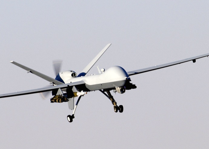
News reports about the FBI, DHS and other law enforcement agencies flying thousands of surveillance missions over America have generated a lot of controversy. However, all of the attention that has been given to this growing practice has done nothing to curb it whatsoever. If you live above a major American metropolitan area, chances are that a government plane, drone or helicopter is watching activity from above.
New Technology

We’re all pretty familiar with FLIR, or infrared cameras that can detect human movement on the ground. New technology has taken this capability to a whole new level by incorporating area-specific information into displays in the cockpit. This includes moving maps of streets, specific addresses for each house or building on the block, business names as well as the names of schools and parks. With this information overlayed on maps, monitors can identify exactly where a target is located or where they are heading.
What makes this particularly scary is that monitors can also call up information about who lives in specific addresses or who owns specific businesses. They can then check for warrants, criminal history, run credit reports and even dig into consumer profiles or learn about daily habits. This is one of the hugest blows to privacy in America, and this technology is only in its infancy. Couple that with the fact that monitors or agencies can tie the data they have on their screen with other sources such as cell phone towers or GPS receivers on vehicles, and they can learn quite a bit about any given individual at any point in time.
The Guise of Security
All of these surveillance operations are publicly lauded as being in place under the guise of security and being able to track and catch bad guys. However, with the technology that it is available, it’s virtually impossible to stop law enforcement or government agencies from monitoring our movements and putting together a picture of our daily activities. Furthermore, if and when this technology becomes available for commercial use, we can be spied on by corporations or marketing companies as well.
While there are clear benefits to the use of this type of technology that can keep us safe, the fact that so many airborne platforms are flying above our cities and towns on a daily basis indicates that more is occurring behind this weak cover story. The government is mapping every community, every street, every address and will have the capability to track and call up the movements of Americans as they go about their daily lives. The government wants to know what we’re doing. They want to use that information to control us. They want us to feel as though we’re being watched. They want us to be afraid of big brother.
The question is where will it end, and nobody really knows. Keep in mind that none of these surveillance operations have been able to stop terror attacks. None of these missions have done anything to make us safer from crime. Couple that with the fact that aircraft are being painted to make them harder to see, mufflers are being attached to their exhausts to make them harder to hear, and drones are becoming smaller and more nondescript.
Consider how Google has been able to map almost every street and building in the world. Now, imagine how the government has dedicated billions of dollars to do the same and more. We’re being watched. We’re being included in databases. We’re being profiled. Sooner or later, we may not be able to live off the grid even if we wanted to, and that will force all of us to find new ways to adapt and make ourselves invisible. While we prepare for disaster, we also need to take an honest and close look at how the government is truly reigning in privacy, and the damage may already be done. The question is where can we go from here?